-40%
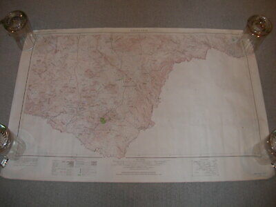
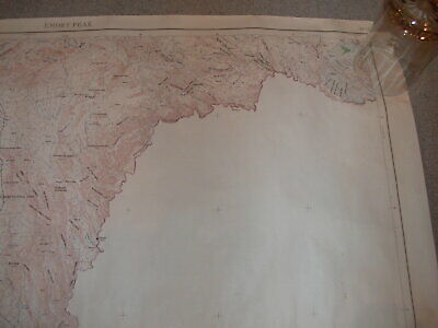
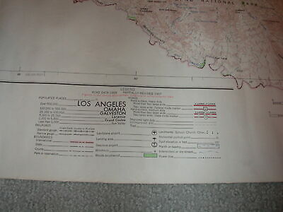
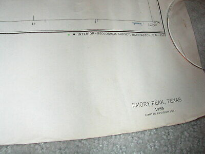
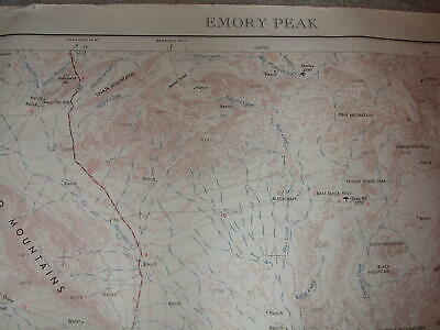
1967 Revised VTG 1959 BIG BEND NATIONAL PARK Topo Map~Emory Peak~Terlingua TEXAS
$ 39.6
- Description
- Size Guide
Description
Vintage Paper MapEmory Peak in Big Bend National Park
Terlingua & more!
22" x 34"
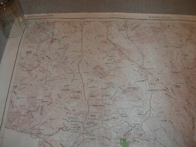
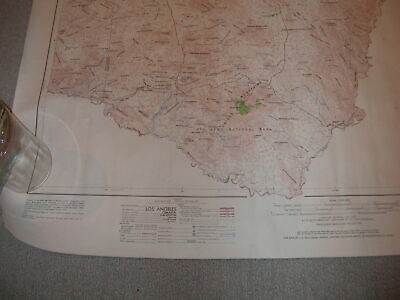
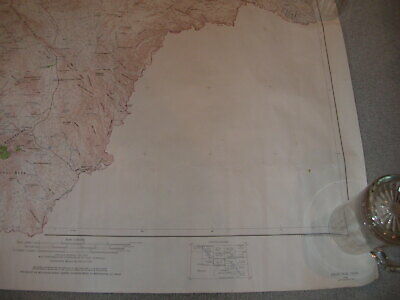
You are bidding on a vintage map which includes Big Bend National Park in Texas. Map shows some handling wear, but is in nice, collectible condition. There are a few minor spots and small amount of edge wear. Would look wonderful framed!
Prepared by the Army Map Service (KCSX), Corps of Engineers, U.S. Army, Washington, D.C. Compiled in 1962 by photogrammetric methods, Aerial photography 1957-58. Horizontal and vertical control by USGS, USC&GS, and AMS. Photography field annotated 1959. Limited revision by U.S. Geological Survey 1967.
Measures approximately 22" x 34" on paper
Plain backside
Ships rolled
Some buyers pay required state sales tax.
Bid with confidence...check my feedback. I'm happy to combine shipping costs on multiple purchases to save YOU money$$$ Thanks for looking and good luck!
